Eunostos Programme · site map
Where is Eunostos?
Eunostos sits at 21.8° N, 120° W, on the flat lava plain of Tharsis. Below is a real orbital photo of the region. Drag to move, pinch or use the buttons to zoom, and tap a pin. Under the photo is a true-scale plan of the settlement.
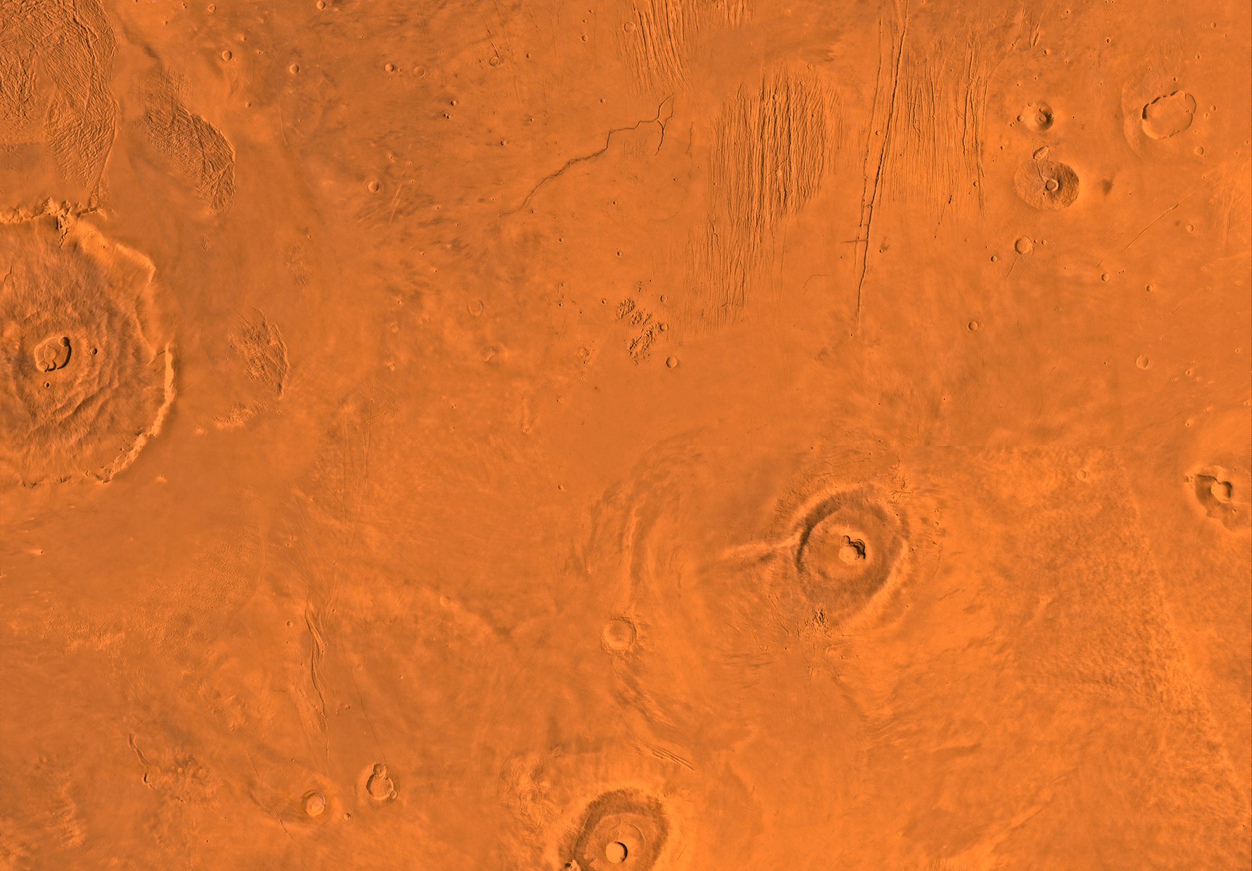
Pins and rings are our additions. The distances are measured on the photo and are approximate. North is up.
The settlement, to scale
The picture shows the base. The plans show it to scale: the distances are true, and the small symbols are drawn larger than real so you can see them. Tap a number to see what is there and where the book mentions it.
On a phone, swipe the plan sideways to see all of it.
The picture shows the surface only; the rooms are under the rock. MARTA's core is about forty metres down and two hundred metres east of the big room.